Description
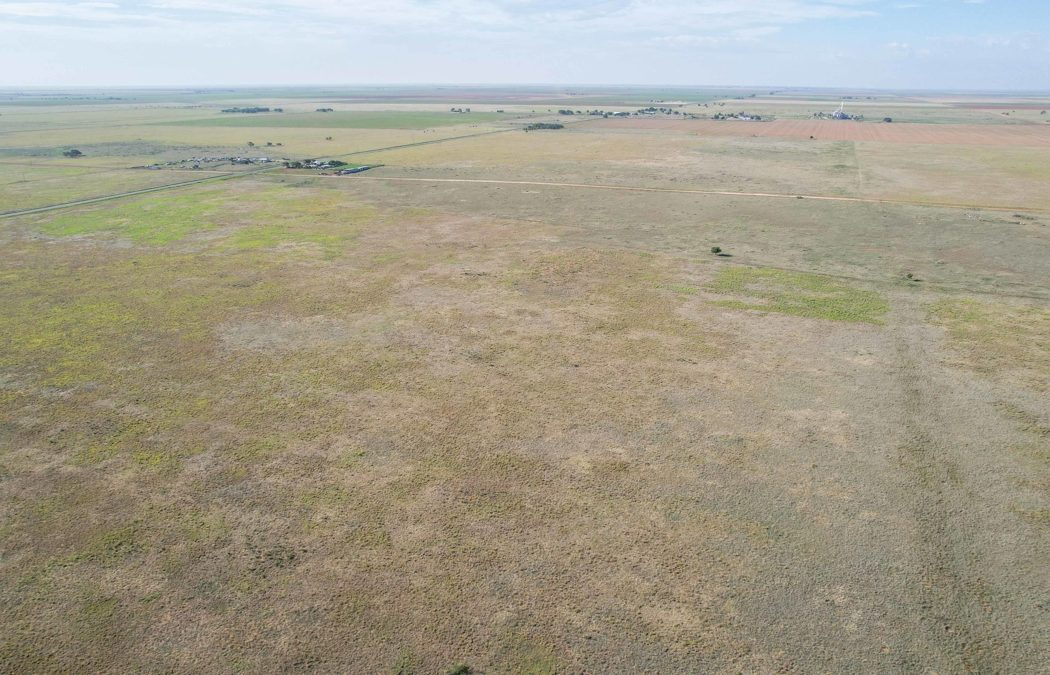
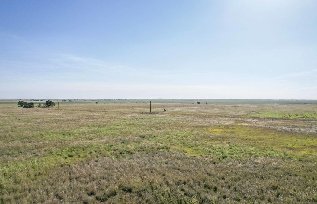
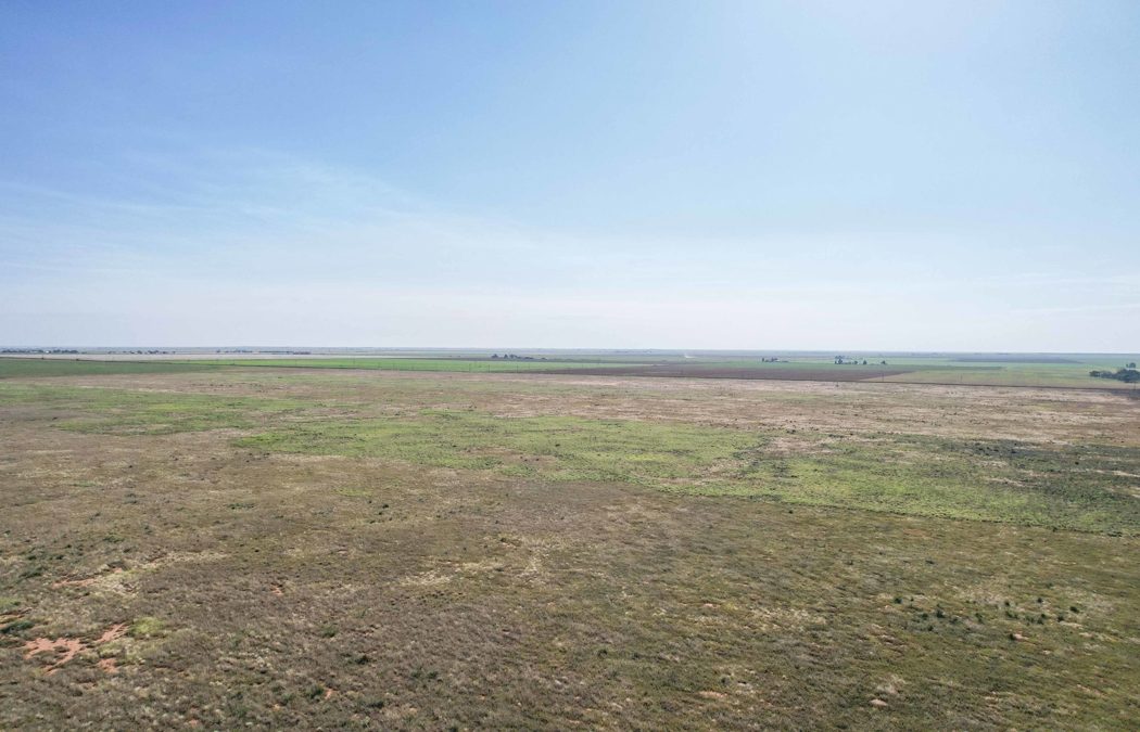
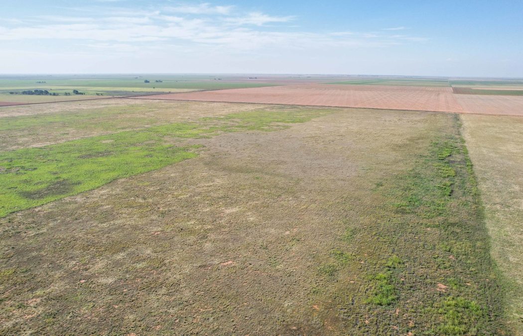
DESCRIPTION: +/-650 Acre multi-parcel grass offering in southern
Bailey County, Texas. This property consists
of 4 legal tracts. Most of the acreage was previously in the Conservation
Reserve Program and is now enrolled in the United States Department of Agriculture
(USDA) Farm Program. The tracts offer
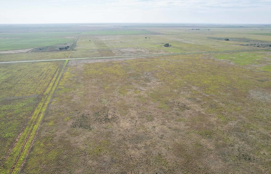
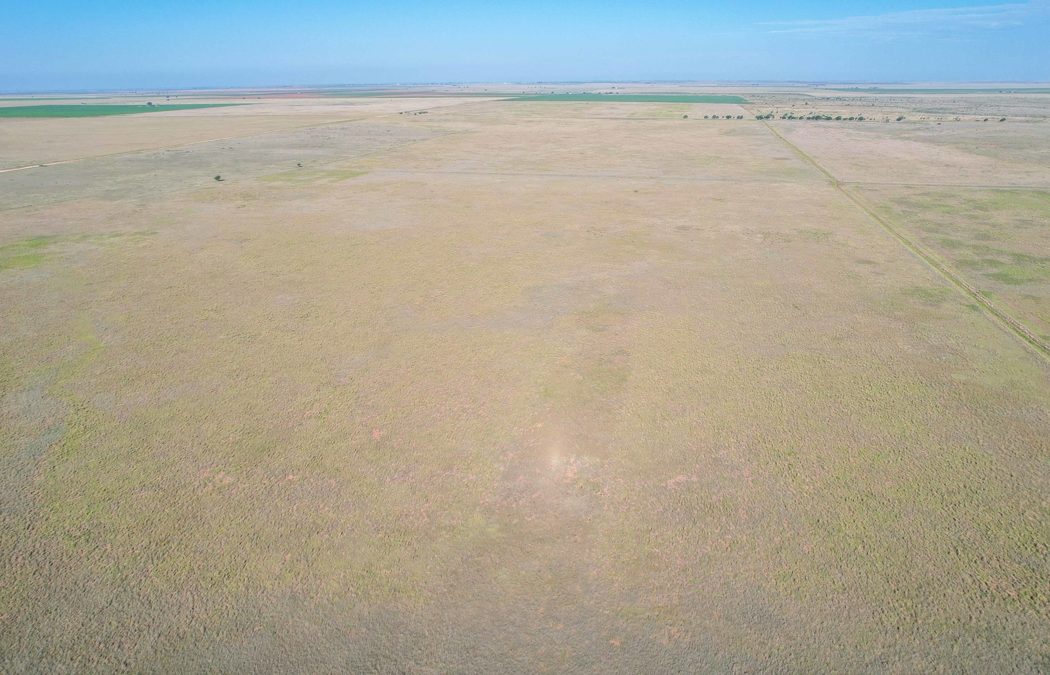
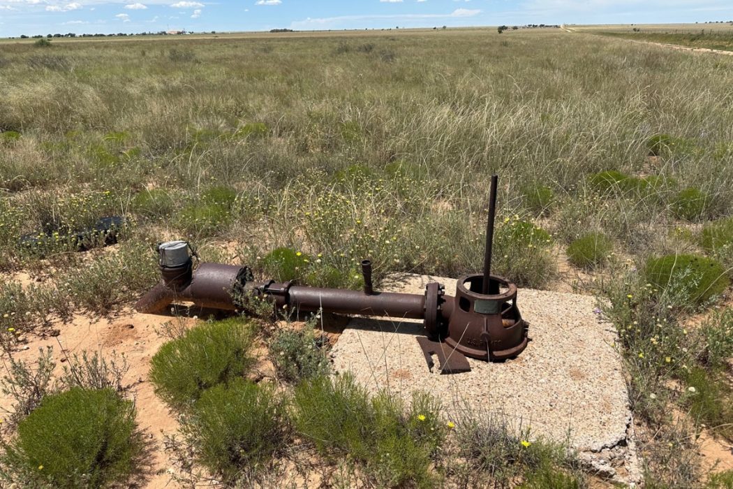
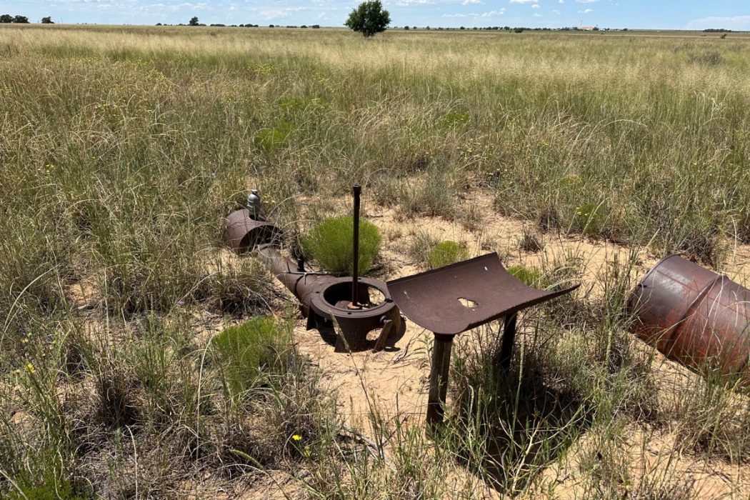
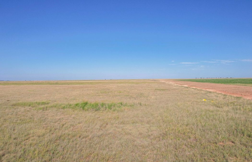
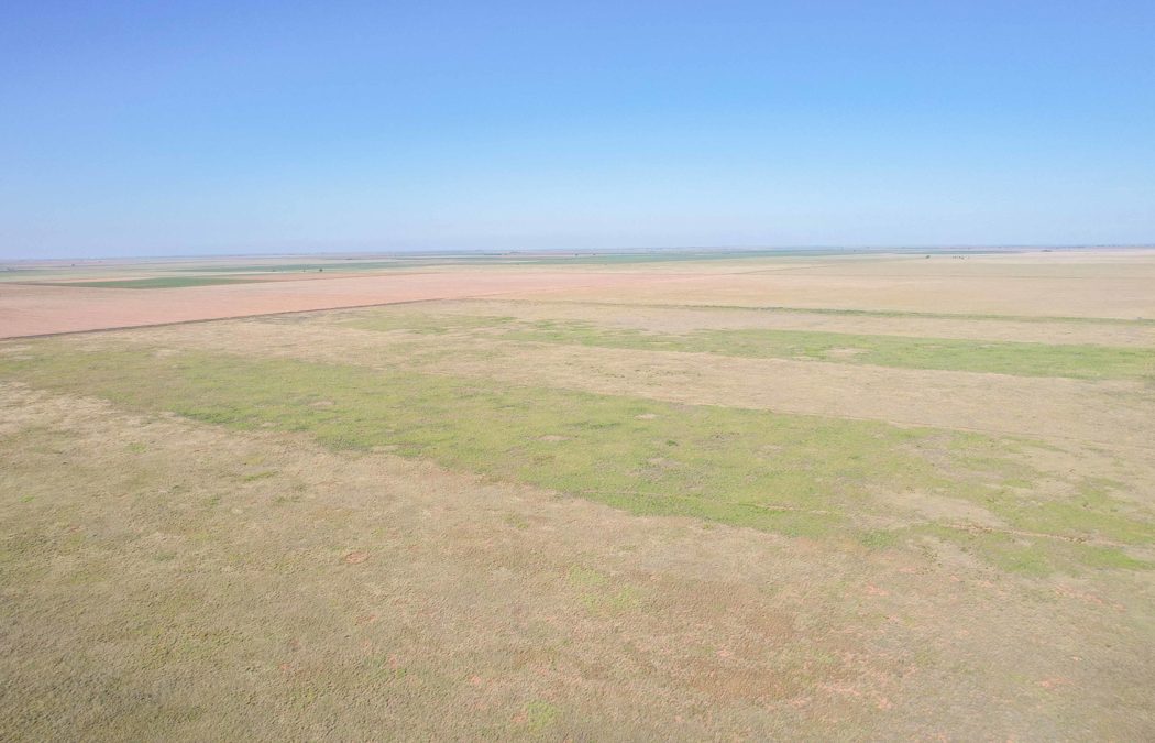
some variety in topography from gently sloping to fairly flat and there are a 3 old wells located on tract 3. There
is a dilapidated house site on Tract 2 that is no longer livable. There is considerable variety in the soil
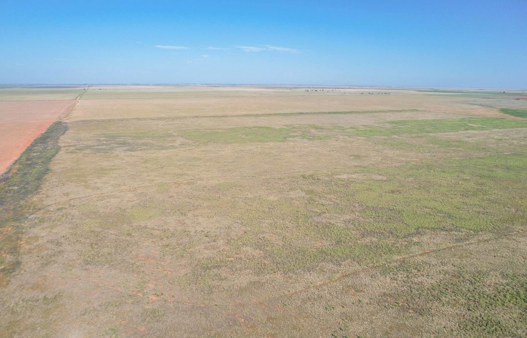
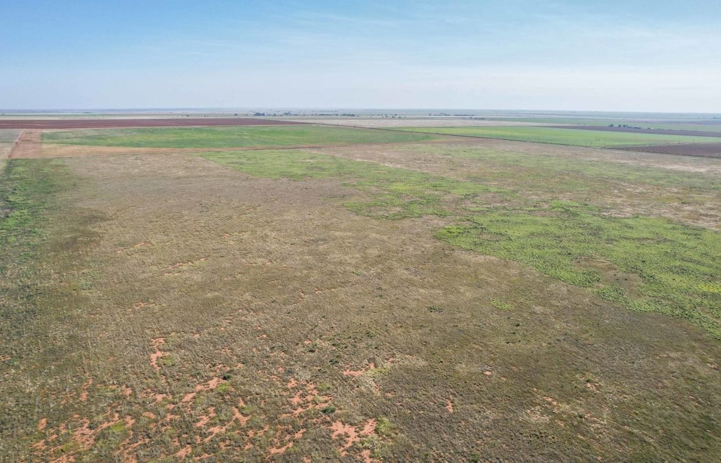
types from one tract to the next, but most of the predominate soils are suited
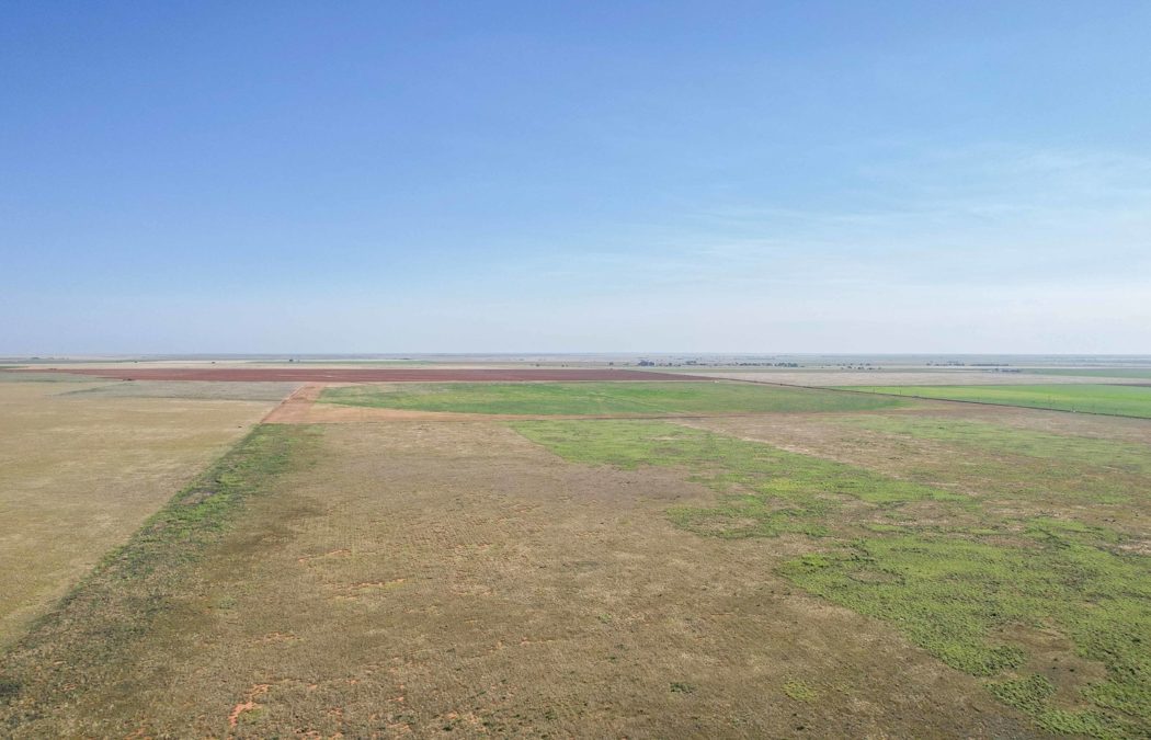
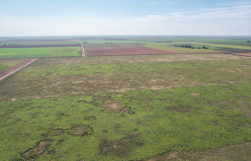
to moderate farming and intensive grazing depending on rainfall. There is some irrigation activity around
tracts 2, 3 and 4 on neighboring parcels, with most of the immediate area in
grass. There is good potential for hunting
on these tracts with area known for good numbers of mule deer, antelope, quail,
and great location for migratory birds such as dove, crane and geese.LEGAL DESCRIPTION: Tract 1: A330 Floyd Csl League 182 Tract 88, Acres 154; Tract 2: A330 Floyd Csl League 182, Labor 89, Acres 160; Tract 3: A330 Floyd Csl League 182, Labor 91, Acres 158 (Excludes
2 acres of Labor in SE corner)Tract 4: A310 Childress Csl League 122, Tract 2, Acres
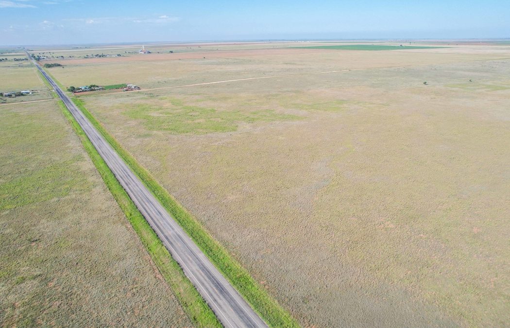
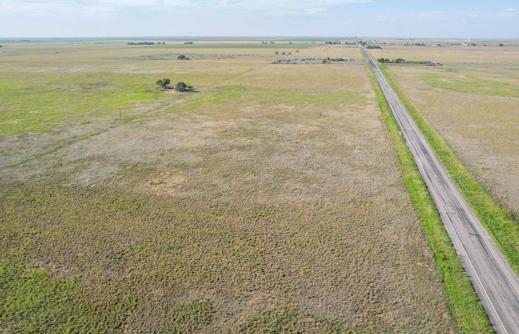
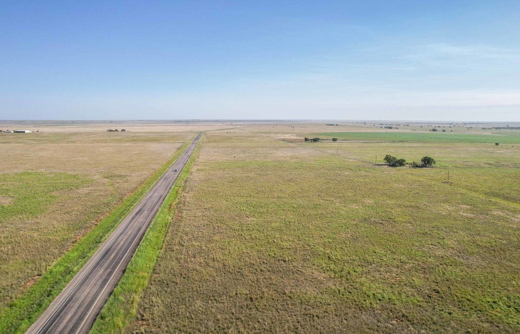
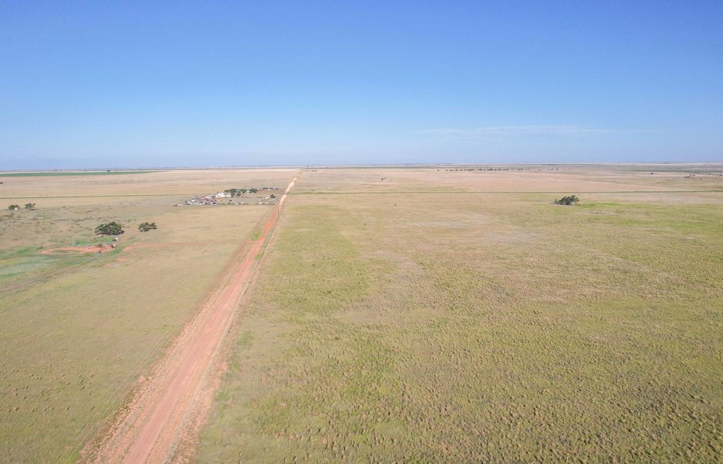
178 (650 Acres+/-) LOCATION: Tract 1 is located 1 mile north of Enochs and is
dissected by State Highway 214. Tract 1 is
contiguous on its eastern boundary with Tract 2 and both are located north of
CR 1292. Tract 3 is located caddy corner
to the Southeast corner of Tract 2 and is bordered by CR 1292 on the north and
CR 175 on the east. Tract 4 is located 2
miles south of Enochs and is located 7/10’s of a mile west of State Highway 214
at the dead end of CR 1320 into CR 157 which runs down the eastern boundary of tract
4.TOPOGRAPHY by Tract:Tract 1: Tract has variation in elevation of
approximately 55 feet and generally slopes from the southwest to the northeast
corner with more drastic slope in the southwestern 1/3 of the farm with the
highest point of the farm being the southwest corner of the tract.Tract 2: Tract gently slopes in general to the northeast
and east with lowest point of the farm in the northeast part of the parcel.Tract 3: This tract is fairly flat with the
exception of the low lying that is the start of Yellow House Draw in the
western 1/3 of the parcel which gradually slopes from north to south. Tract 4: Tract has very gently slope to the
southeast with a drop of just over 35 feet from the northwest corner to the
southeast corner.IMPROVEMENTS: There are no substantial improvements on the parcels, there is a
dilapidated farmhouse on Tract 2 (Labor 89).
There are a couple of old irrigation well permits on Tract 3 (Labor 91).
WATER FEATURES:
There are no significant water
features on any of these tracts except the beginning of Yellow House Draw
on the southern boundary of Tract 3.FENCING: There are
some remnants of old fencing on the native grass portion of the NE labor, but
there is no viable fencing on any of the property.WILDLIFE, HUNTING AND RECREATION: The area is known to have migratory hunting such as dove, crane, and
geese, depending on crops grown by adjacent farms. Land could also support
establishment of enhanced habitat for quail, mule deer and other native species
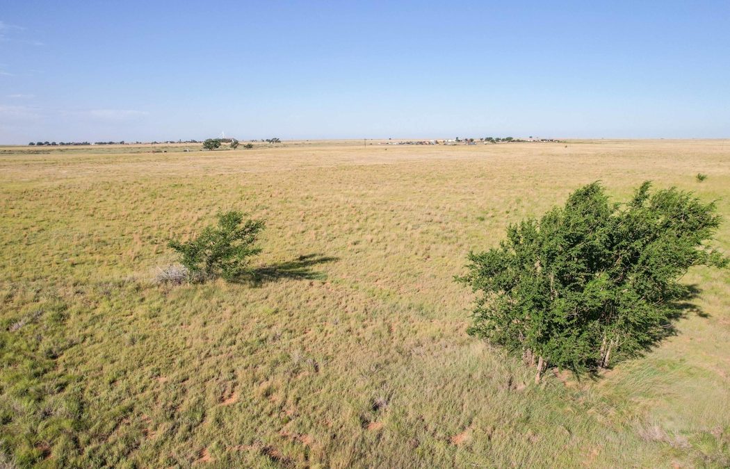
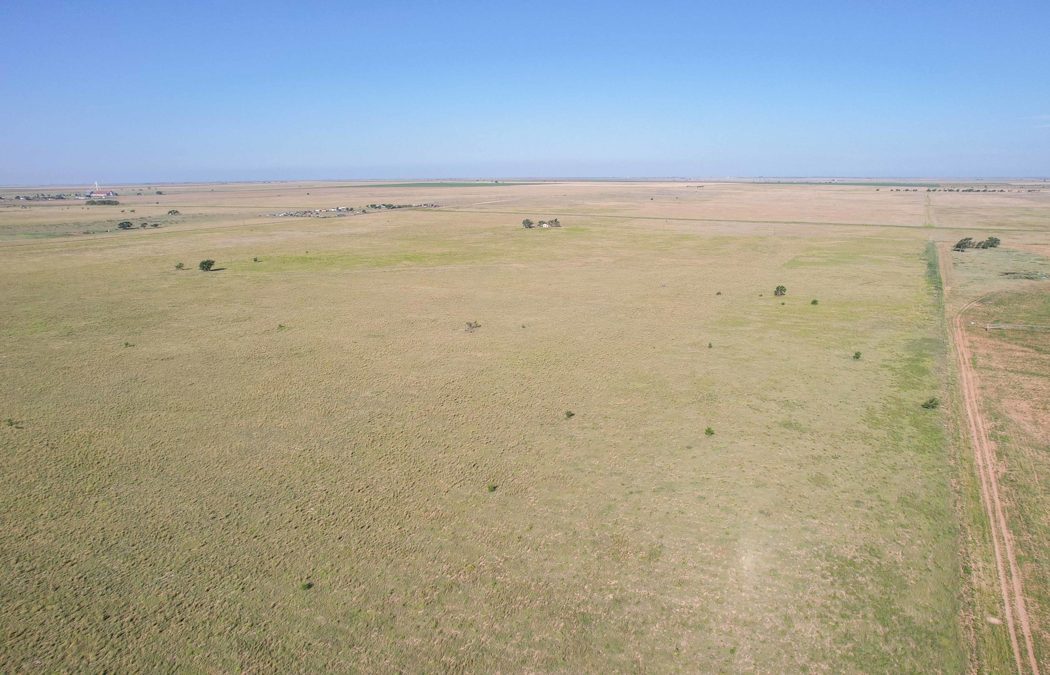
such as pronghorn antelope. With wide
open spaces and natural landscapes, you will be able to take full advantage of
unbelievable sunrises, sunsets and beautiful night skies. The beginning of Yellow House Draw is located
at the southern part of Tract 3. This provides a natural wildlife funnel for the
area that connects thousands of acres of prime hunting habitat in southeastern Bailey
and southwestern Lamb counties. SOIL by Tract:
Tract 1: Soil primarily consists of Amarillo
fine sandy loam, 0 to 1 percent slopes, Midessa fine sandy loam, 0 to 1 percent
slopes, Midessa fine sandy loam, 1 to 3 percent slopes, with lesser amounts of Kimberson
gravelly loam, 0 to 3 percent slopes, and Sharvana fine sandy loam, 0 to 3
percent slopes.Tract 2: Soil primarily consists of Midessa fine sandy
loam, 0 to 1 percent slopes, Amarillo fine sandy loam, 0 to 1 percent slopes, Arch
fine sandy loam, 0 to 1 percent slopes, Midessa fine sandy loam, 1 to 3 percent
slopes, Mansker fine sandy loam, 1 to 3 percent slopes, with considerably
lesser amounts of Bippus clay loam, 0 to 2 percent slopes, rarely flooded, and Drake
soils, 3 to 5 percent slopes.Tract 3: Soil primarily consists of Midessa fine sandy
loam, 0 to 1 percent slopes, Amarillo fine sandy loam, 0 to 1 percent slopes,
Arvana fine sandy loam, 0 to 1 percent slopes, with lesser amounts Bippus clay
loam, 0 to 2 percent slopes, rarely flooded, Arvana fine sandy loam, 1 to 3
percent slopes, Midessa fine sandy loam, 1 to 3 percent slopes, Mansker fine
sandy loam, 1 to 3 percent slopes, Mansker fine sandy loam, 3 to 5 percent
slopes, Sharvana fine sandy loam, 0 to 3 percent slopes.Tract 4: Soil primarily consists of Amarillo fine sandy
loam, 0 to 1 percent slopes with considerably lesser amount of Arvana fine
sandy loam, 0 to 1 percent slopesUSDA INFO: Farm was
at one time in Conservation Reserve Program, but contract is no longer in
effect. Farm is currently enrolled in the USDA Farm Program and has base acres
for Seed Cotton and Grain Sorghum. Farm
has 649.49 acres of designated Farmland and of that 621.70 acres are designated
as DCP Cropland. Farms are still
currently in grass. FSA-156 and Map is
available for review by serious inquiries. TAXES: Estimated
for 2025 current exemptions and discounts (Source- Bailey County Central Appraisal
District) – Tract 1: ($645.91)Tract 2: ($782.70)Tract 3: ($780.00)Tract 4: ($974.55)RESERVATIONS: Owner does not own any minerals.
Owner would like to reserve ½ commercial wind royalty rights and ½
commercial solar royalty rights but does not intend to reserve executive rights
for wind and solar.EASEMENTS: The sale of
the property is subject to any and all easements filed of record.FURTHER REPRESENTATIONS: All information provided is believed to be
accurate; however, no liability for its accuracy, errors or omissions is
assumed. All lines drawn on maps, photographs, etc. are approximate. Buyers
should verify the information to their satisfaction. Information is subject to
change without notice. Real estate is being sold “As-Is,
Where-Is” with NO warranties expressed or implied.COMMENTS: Call or text Monty Edwards for more information at 806-786-5426.
PROPERTY FEATURES:
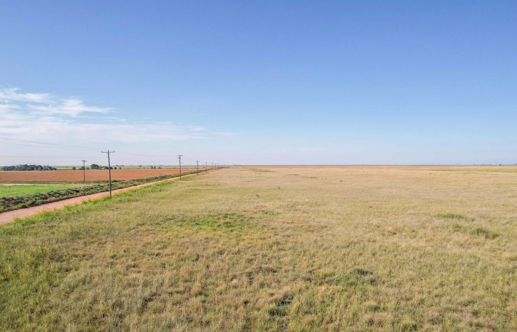
Paved Frontage on Tract #1
Excellent Hunting Opportunity
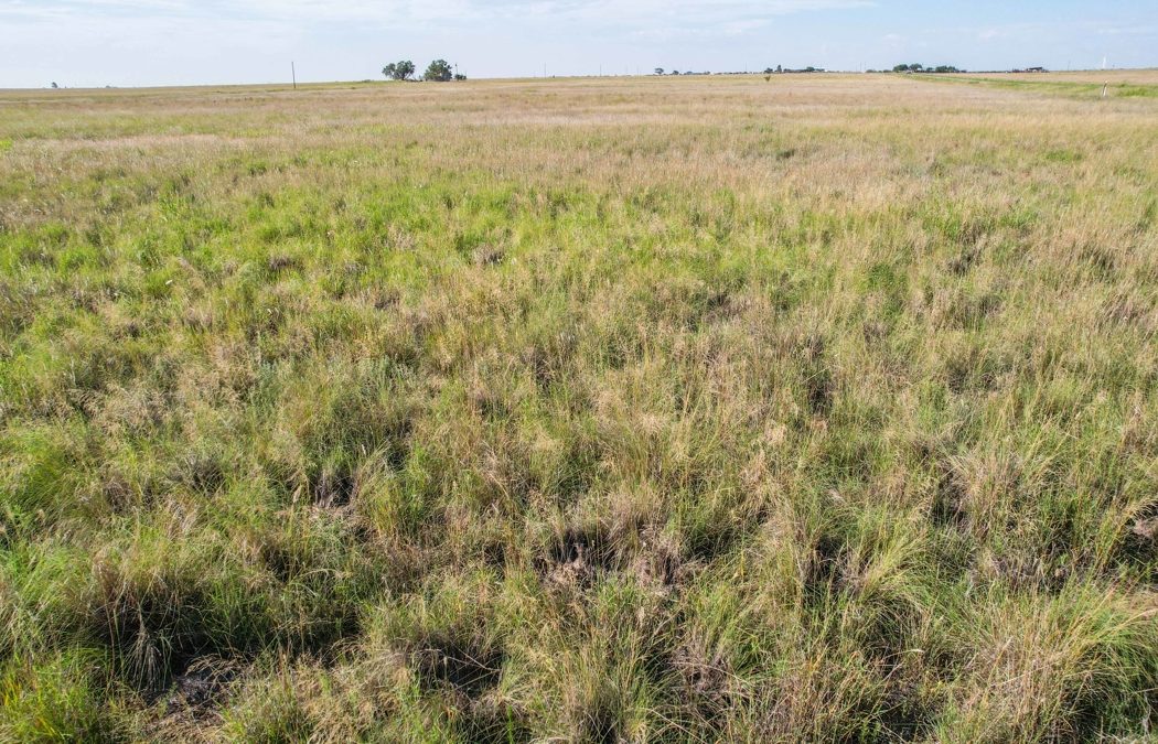
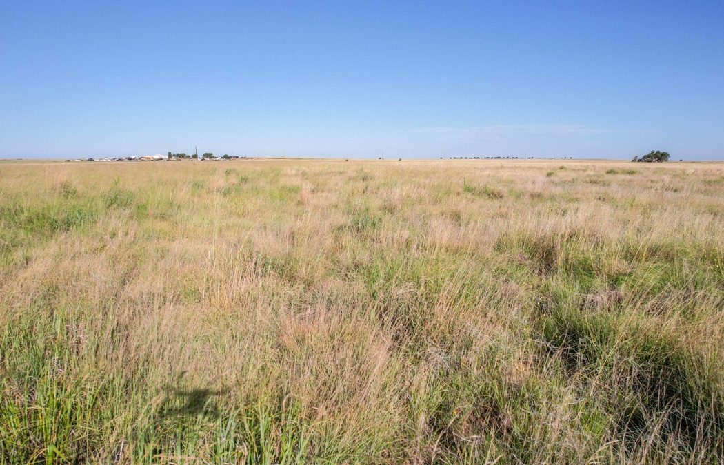
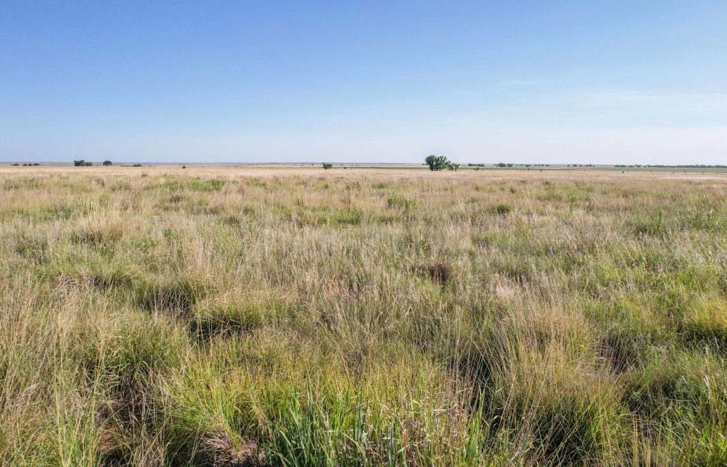
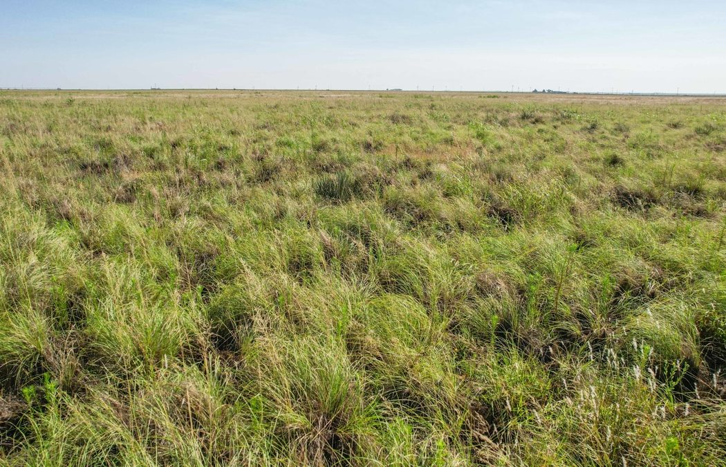
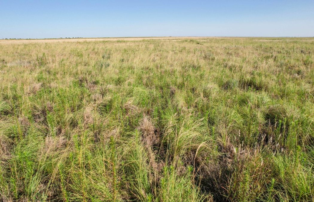
Improved Grass Pastures
Some Native Grass on Tract 1
Access to Electricity
County Road Access
Farms for Sale
Hunting
Land for Sale
Ranches
Recreational Property