
Description
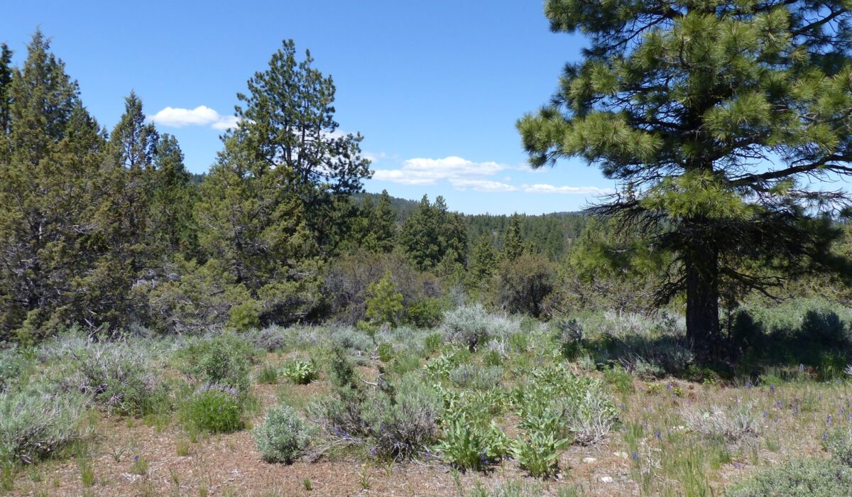
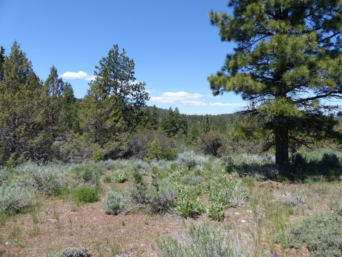
This parcel boarders BLM land on two sides and is ½ mile from the national forest. This property is in the Malheur River unit and qualifies for 2 landowner preference tags for Mule Deer and Rocky Mountain Elk. The property has not been logged for many years with a mixture of Ponderosa Pine, Juniper and Monogeny creating great cover for the wildlife. There is seasonal drainage that runs through the property. This would be a great place for a solar cabin to retreat to and regenerate.
LOCATION: Approx. 30 miles Northeast of Burns OR
LEGAL DESC.: T21S R33E WM Sec. 18: S ½
ACREAGE: 299.93 +/- acres
TAXES: 2021/2022 $429.67 (Farm Deferral)
PRICE: $395,000.00
PROPERTY FEATURES:
299+/- Acres
30 miles from Burns
2 Landowner tags
Lots of Trees
Seasonal Drainage
Land for Sale
Mountain Property
Recreational Property