Description
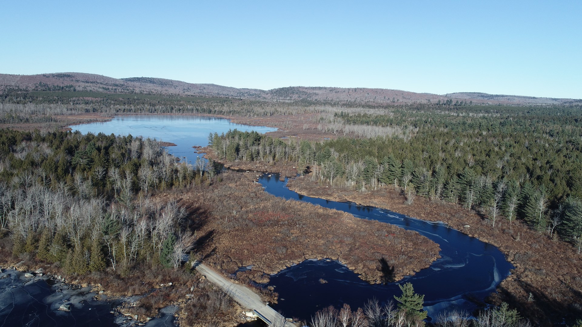
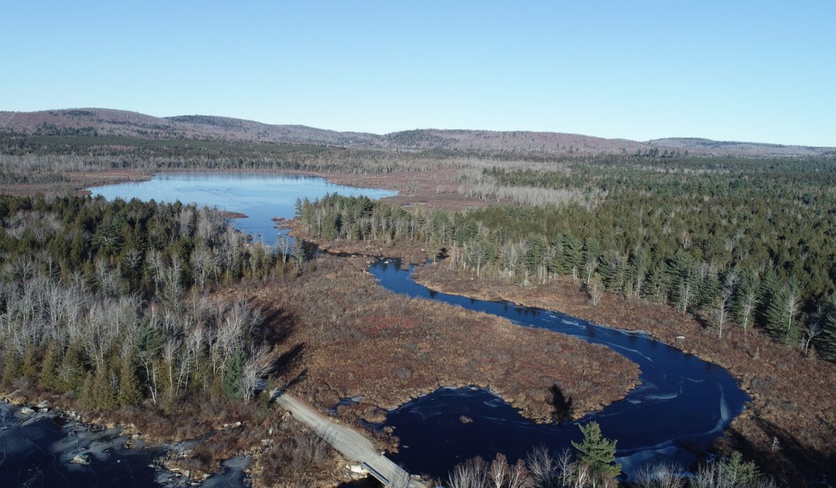
If you are searching for a timber investment with more than just timber, you need to see these 1,503± acres located in the Unorganized Township of T3 R1 NBPP. Waterfrontage includes all of one pond, 2/3 of another pond, 900 feet on a large lake and thousands of feet on flat and live water brooks totaling more than 30,000± feet of combined water frontage.
LAND – The forest land here is a mixed woodlot that includes approximately 165 acres in pine plantation of various ages. The rolling terrain is a nice mix of hardwood ridges, plantations, transition areas of softwoods and wetlands along the streams and some of the pond and lake frontage. Elevations vary from about 295 to 520 FASL.
NRCS soil mapping shows about 70% of the lands to be sandy, silty, shaly and stony loams all good to excellent for growing trees. Most of the wetland soils are located around the frontage on Little Madagascal Pond. When you call, ask for an interactive map with soil overlays.
This land has deeded and mapped right of ways leading to more than 4 miles of interior road system and thousands of feet of trails on the land. The roads are growing in in places where harvesting has not been recently done.
WATERFRONT – The Ponds This property is blessed with a great deal of diverse water features. 900± feet of frontage on beautiful Madagascal Pond with its sand beaches and mixed rocky shorelines. This pond is 750 acres of surface water with depths to 35 feet. The property completely encompasses Little Madagascal Pond adding about 6,000 feet of shorefront. The pond has 40 surface acres and is 7 feet deep. Both ponds have bass, perch, and pickerel with an occasional wild brook trout. The tract also fronts 110-acre Green Pond for over 5,000 +/- feet. This pond has consistent depths of about 16 feet.
WATERFRONT – The Brooks The three tributaries flowing in or out of our ponds on the land include about 800 feet on Merrill Brook, 5,200 feet on Sucker Brook and 8,000 feet on Blackman Brook. These small streams hold populations of wild brook trout and have many game trails following their courses through the forest.
T3 R1 NBPP – This is an unorganized territory in the Maine wilderness. The township is a hilly one with many springs and brooks that feed the upper Passadumkeag River which is a tributary of the mighty Penobscot River. This sparsely developed area with probably no one living here year-round, at least no one we are aware of. This property is completely off grid with no power lines close to the property. Solar and backup generator would be the best option for power needs.
RECREATION – For all those investors that also like to use and enjoy their assets, the T3 R1 property has direct access to snowmobile and ATV trails. Whitetail deer, black bear and those lucky enough to get a moose tag will find the hunting very good here. Upland bird hunting for ruffed grouse and the ponds, streams and associated wetlands provides a great waterfowl resource.
LOCATION – T3 R1 is in eastern Penobscot County. It borders Lee to the north, Burlington to the west, Lakeville Plantation to the East and the Hancock County Line to the south. From the property the village of Lee is about 5 miles. Lee has a small ski mountain, a restaurant and gas station and cultural buildings and Lee Academy. The nearest service town to the property is Lincoln, about 15 miles west of the land, with all modern conveniences including a hospital. Bangor International Airport is just 65 miles from the land.
Need more information or want to schedule a tour of the property. Call today.
PROPERTY FEATURES:
Maine Timberland For Sale
Lake
Pond
Livewater Brook Stream
Tree Plantations
Hunting Fishing Boating
ATV & Snowmobile Trails
Interior Roads


