
Types
Categories
Lewisville
Areas
States
click to enable zoom
loading...
We didn't find any results
open map
View
Roadmap
Satellite
Hybrid
Terrain
Fullscreen
Prev
Next
We found 5cc 0 results.
List View
Map View
Smaller Monroe County Recreational Tract 9
$1
GPS Coordinates 39.750413, -81.190022Parcel 22-019001-0000 Parcel 22-020003-0000Tract 9- Located on two sides of a dead end road, this property offers a great potential build site. An oil dr ...
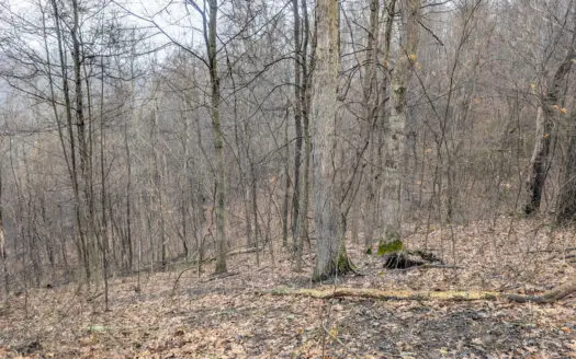
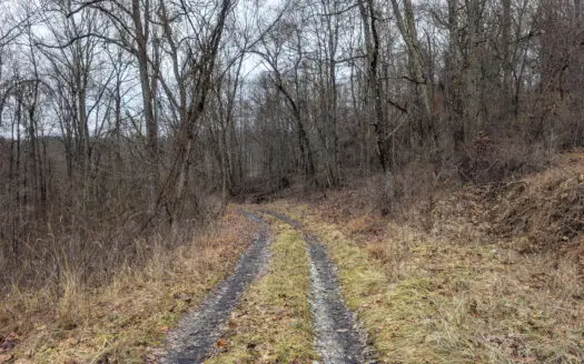
Tract 10- Gently rolling hillsides back a dead end road
$1
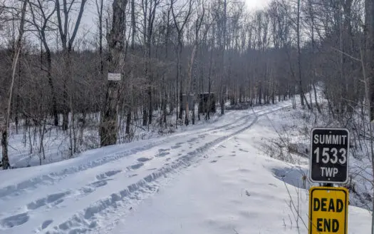
Tract 10: 93+/- acres Summit Township Township Rd 55 GPS Coordinates 39.794641, -81.200080 Parcel 22-008003-0000 93± Acres | Gently rolling hillsides back a dead end road opens up to a poten ...
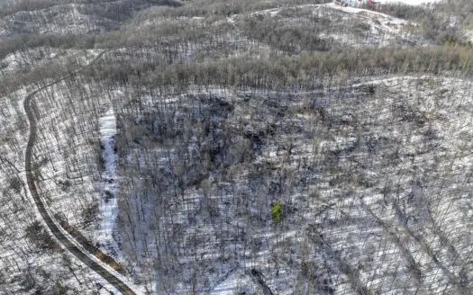
Tract 9 45± Acres Monroe County Recreational
$1
Tract 9: 45+/- acres Summit TownshipTownship Rd 272 GPS Coordinates 39.750413, -81.190022Parcel 22-019001-0000 Parcel 22-020003-0000Tract 9- 45± Acres | Located on two sides of a dead end ro ...
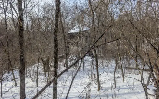
Tract 8 Dead End Road Old Homestead with Hunting and Timberland
$1
Tract 8: 202+/- acres Wayne and Summit Townships 44955 Township Rd 272 GPS Coordinates 39.749019, -81.187776Parcel 22-025001-1000Parcel 32-003004-1000 Parcel 22-025001-2000Tract 8 202± | Loc ...
Secluded Property Monroe County Tract 10
GPS Coordinates 39.794641, -81.200080Parcel 22-008003-0000 Tract 10- Gently rolling hillsides back a dead end road opens up to a potential ideal build site. With abundant deer sign and gentl ...
Listings
Map View