Description
50184 Highway 78, Princeton, Oregon 97721 | Harney
Anderson Valley Pivots
50184 Highway 78, Princeton, OR 97721
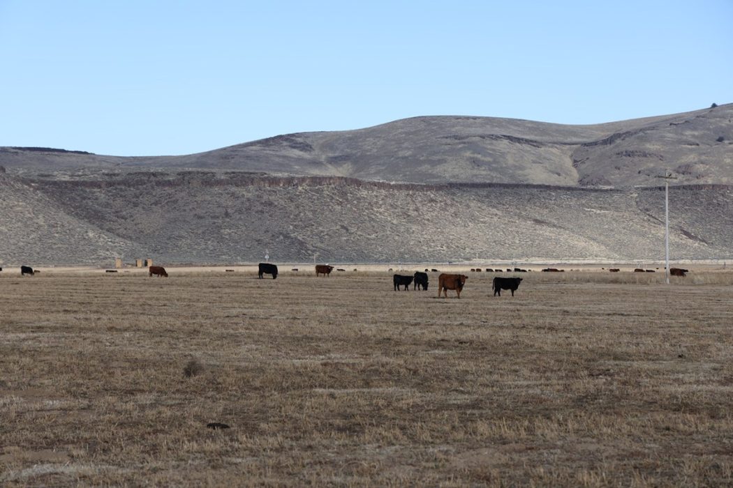
Roughly 15 minutes south of Crane in the high deserts of Eastern Oregon lies the Anderson Valley Pivots. Just over a total of 2,000 deeded acres, the newly developed ground has a pair of locations that provide a pasture setup & a hay base.
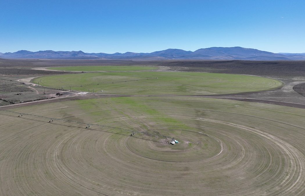
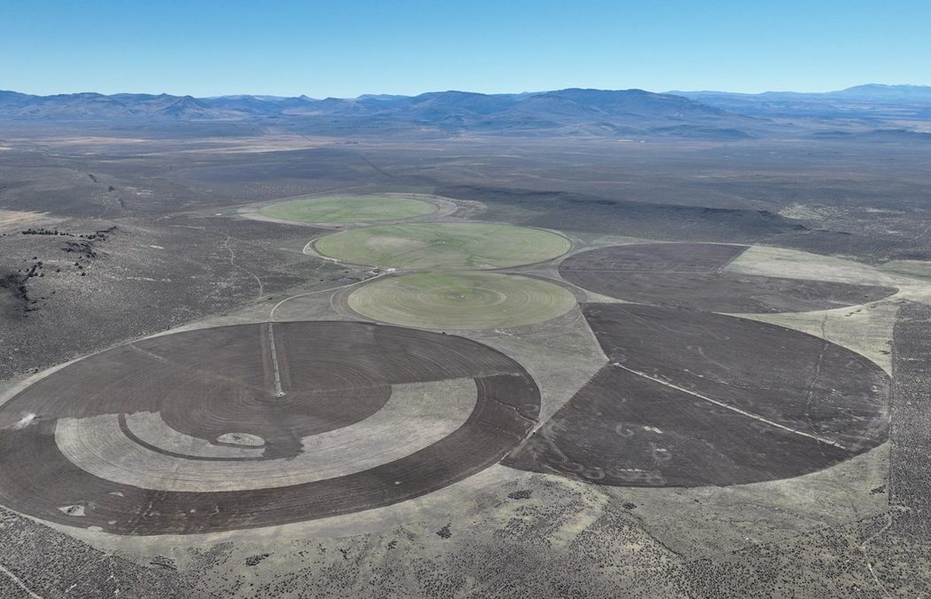
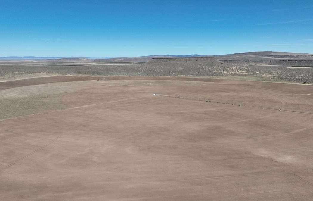
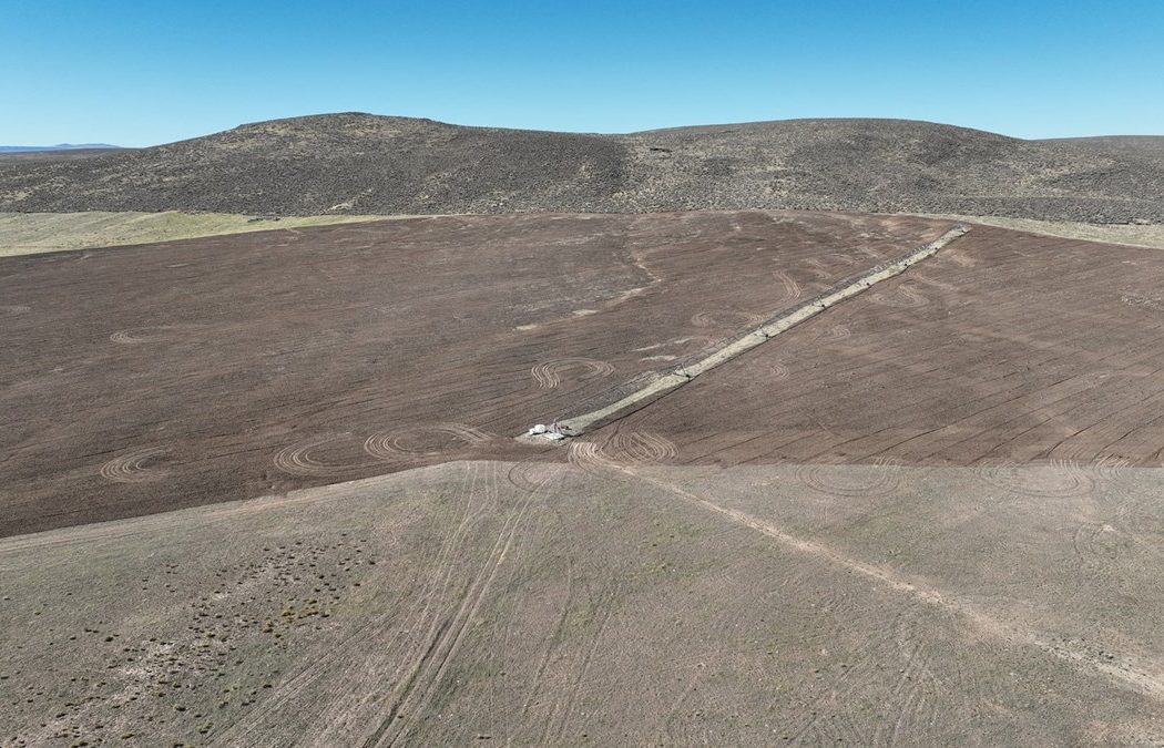
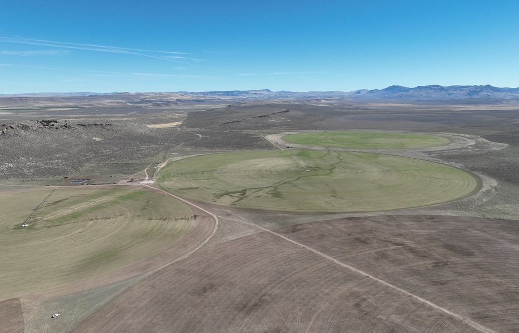
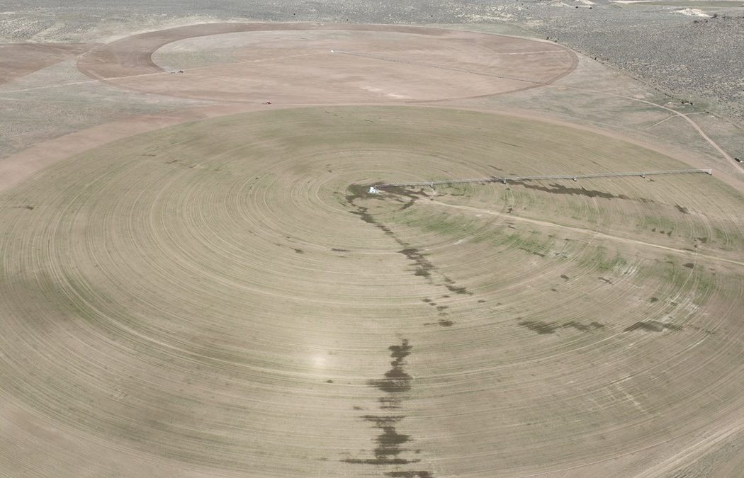
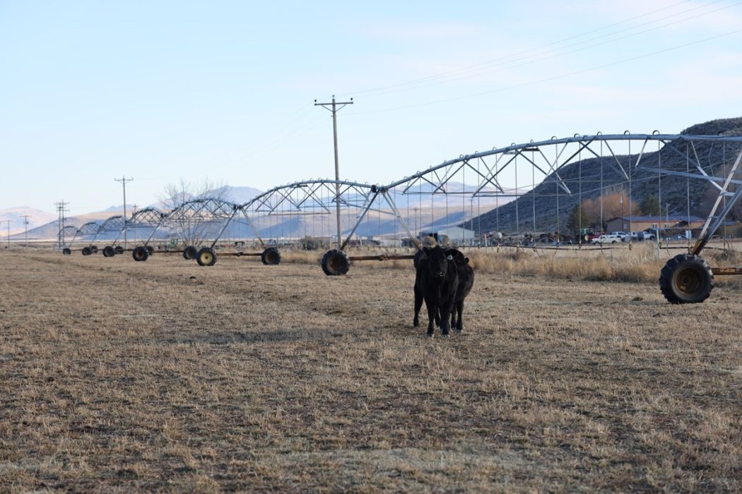
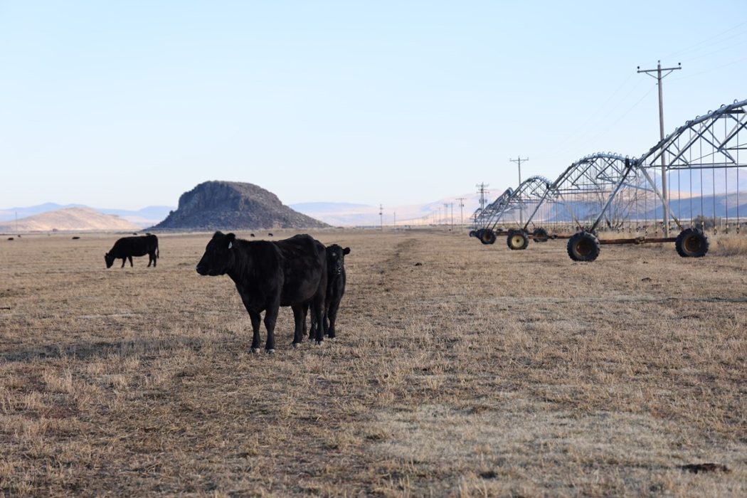
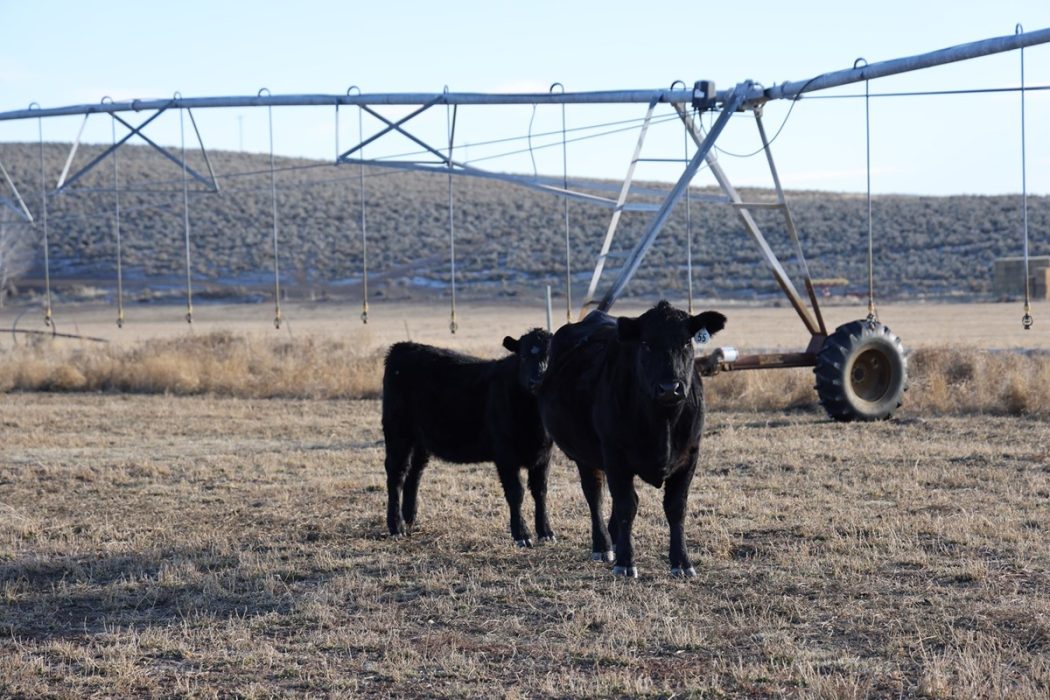
The main hay production is roughly 5 minutes south of Hwy 205 off the Anderson Valley Rd, it consists of 569.40(+/-) acres of water rights under 6 total pivots. Of the 3 pivots that were seeded this past year, they are planted in triticale while the remaining 3 are to be seeded in summer of ‘24. With the recent developments, the ground has had no fertilizer. It currently could meet the standards & opens the door to an organic farm.
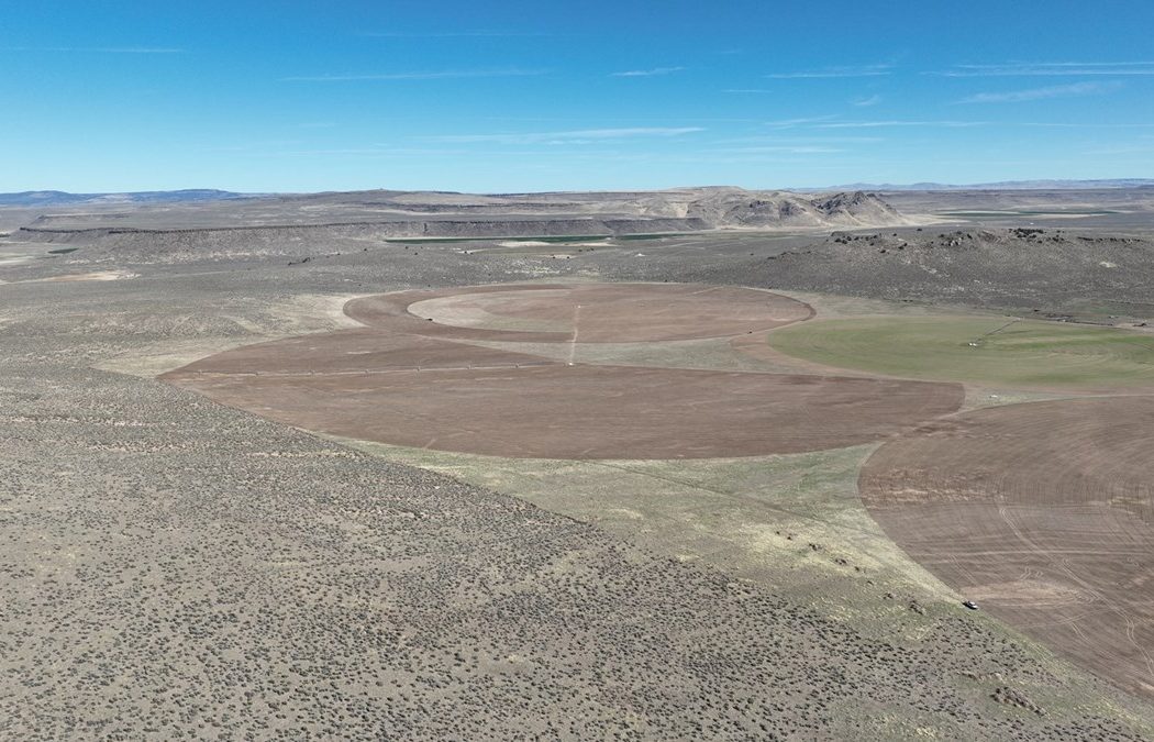
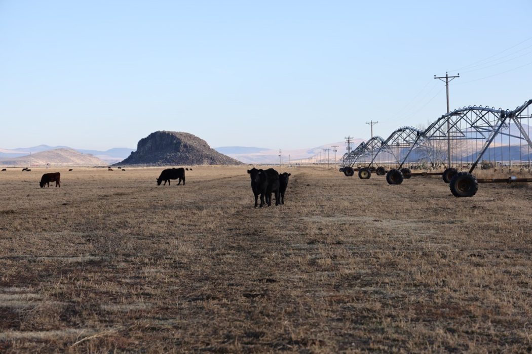
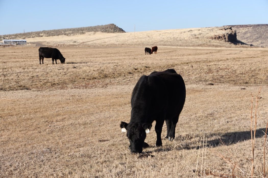
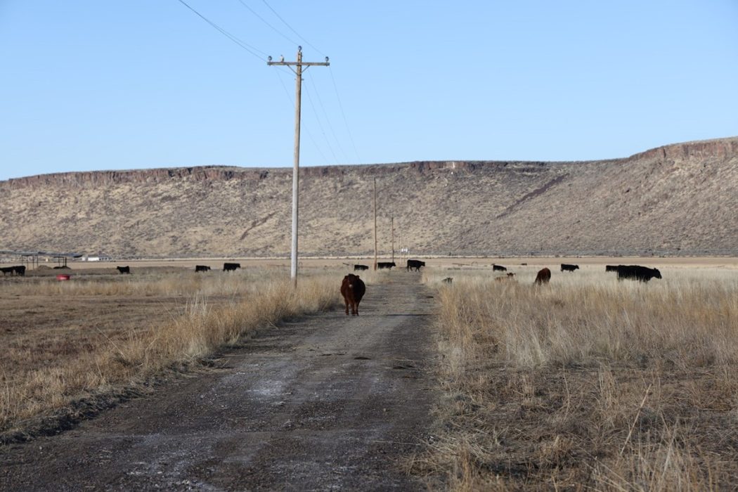
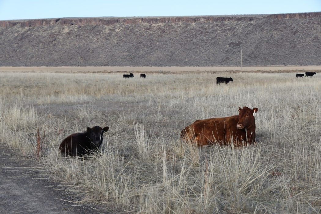
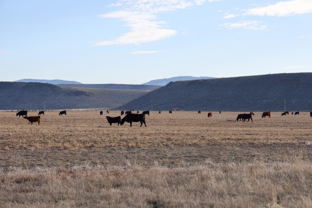
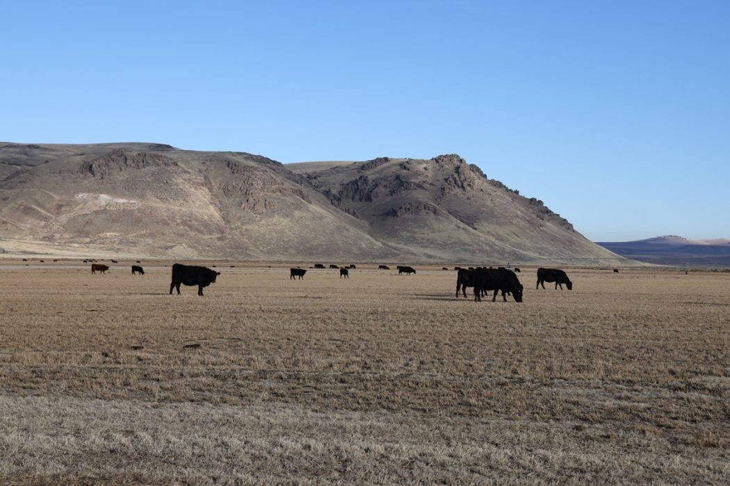
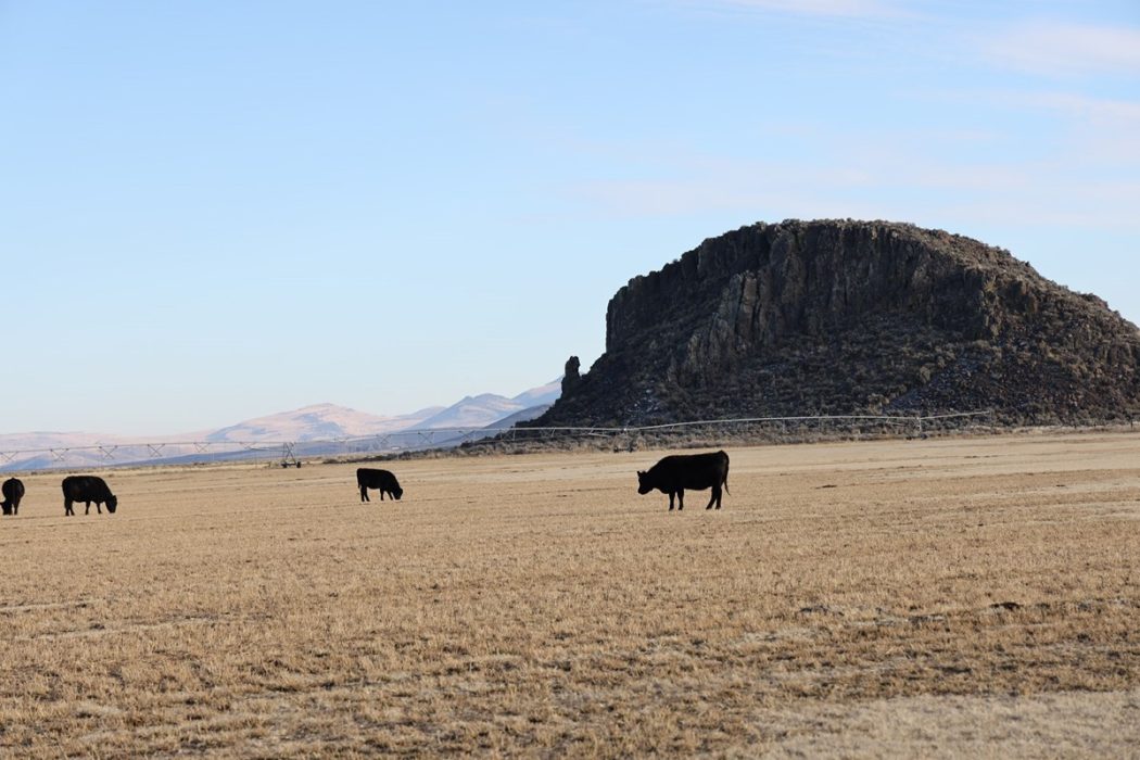
Just along the south side of highway 205 is where the pasture ground lies. Due to the blacktop access & location of the ground it has great year around access. Named after the physical characteristics of a rock formation, Indian Head is a total of 733.03(+/-) deeded acres with 127.2(+/-) acres of that being in water rights. The water rights are irrigated from 2 wiper pivots & are currently planted in alfalfa, all of which has been fertilized & would not fall under organic. The majority balance of the property has been seeded into crested wheat in fall of 2023 where the ground was previously irrigated.
The deeded acreage has a few improvements on them consisting of 2 manufactured homes & a livestock shed. All 3 of the improvements are located on the Indian Head deeded acreage. Each of the homes are a 3 bedroom & 2 bathroom setup. A potential homesite could possibly be placed on the deeded ground further south, as it has fantastic views of Riddle Mountain & the high desert.
Attached to the ground is a BLM permit. The permit currently resides in between the public ground separating the parcels. Livestock is watered from wells off the deeded ground.
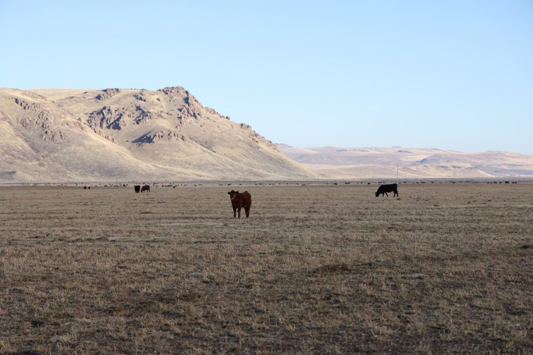
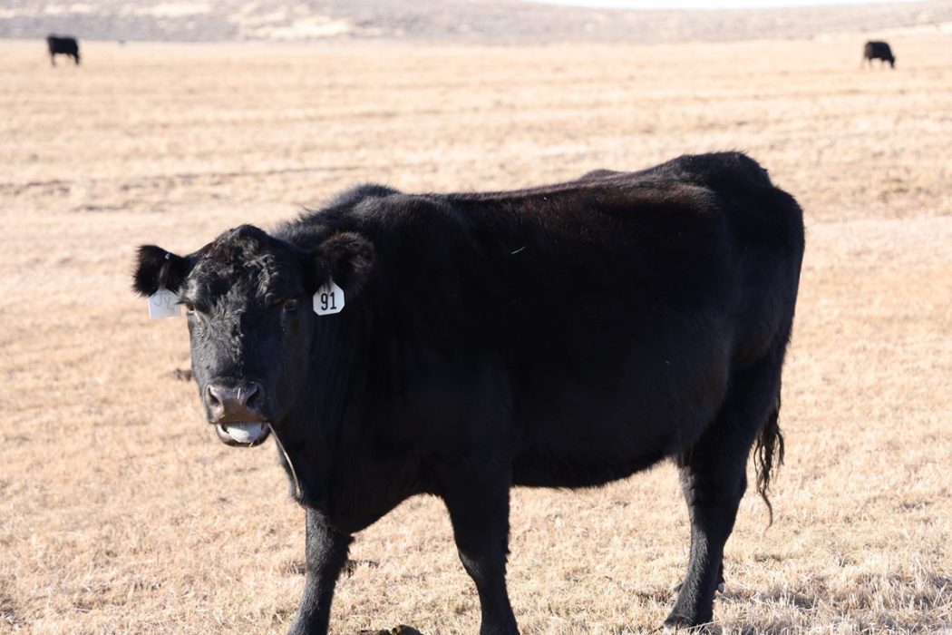
Overall, the combination of the two grounds creates an all-around outfit as they complement the other extremely well. Their hay base is made up of good sandy loam soils and newer pivots with great water supply. This property is a nice compact small cattle operation with hay sales. The extra BLM permit and deeded ground provides a great pasture for livestock.
Surrounding Area
Harney County, located in the expansive high deserts of rural Eastern Oregon, ranks as the 10th largest county in the United States, encompassing over 10,000 square miles. This vast area boasts diverse landscapes and abundant wildlife. At the southern tip of the county, one can marvel at the stunning vistas of Steens Mountain, which oversees the Alvord Desert & Trout Creek Mountains. The northern region features the Malheur National Forest, Silvies River, & timber country.
Wildlife abounds, ranging from large game such as elk, pronghorn, & mule deer to a variety of smaller critters and bird species typical of the Pacific Northwest. The county’s primary community, Burns, is situated midway between Central Oregon & the Idaho Border. A two-hour trip to the west leads to Bend, while two hours east reaches the Idaho border and the Treasure Valley.
ACREAGE:
2,054.91(+/-) Deeded Acres – Per County Records
– 696.60(+/-) Acres Irrigated under Pivots
– 1,353.31(+/-) Acres of Pasture
– 5 Acres – Improvements, Hay Storage,
WATER RIGHTS:
Certificate# Transfer #Acres Priority Date
95616 T-13942 16 Nov. 20,1978
88299 T-13942 27.4 June 4, 1979
93236 T-13942 28.7 Sept. 27, 2012
95618 T-13942 230 Dec. 18, 2008
95619 T-13942 206 Dec. 20, 2012
95663 T-13942 51.3 Sept. 27, 2012
95334 T-13942 17.3 Sept. 29, 1983
97103 T-13942 127.2 Nov. 20, 1978
PERMITS:
Name Allotments Turnout Total AUM’s
Hatt Butte OR05317 10/1-10/31 63
IMPROVEMENTS:
1977 Kit MH – 3 Bedroom, 2 Bath – 938 sqft
1980 Sequoia MH – 3 Bedroom, 2 Bath – 1,344 sqft
Livestock Shed – 2,000 sqft
Small set of portable working corrals
FINANCING: Cash or Bank Financing
TAXES: $6,713.18 – Per County Records (Farm deferral)
PRICE: $6,500,000
PROPERTY FEATURES:
-
Eastern Oregon Ranch
Eastern Oregon Farm
Land for sale in Harney County
696+/- acres of Water Rights
2054+/- Deeded acres
Additional Potential Homesite
2 – 3bed/2 bath MH
Farms for Sale
Land for Sale
Ranches
Investment & Income